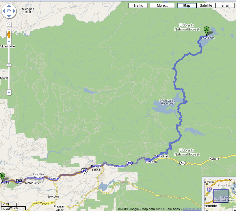
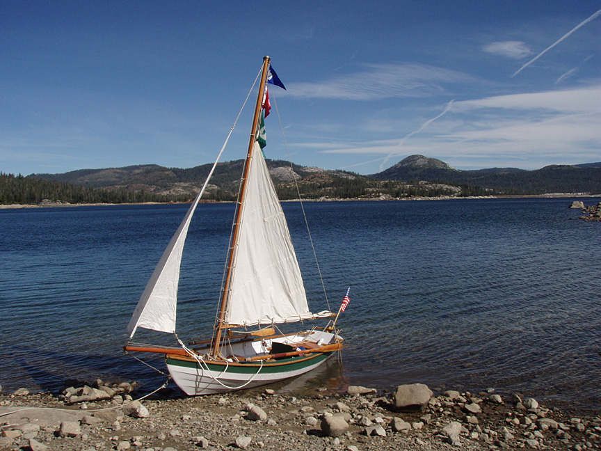
Loon Lake Trip 9/5-7/09
Thorne's Dory Restoration Page
Thorne's Boating Events Calendar
|
|
|
|
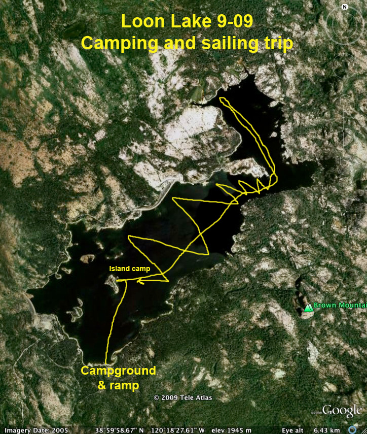
Since the campground was full (surprise!) the
camp host suggested setting up my tent
on one of the islands. I've been to the lake twice before but didn't
realize you could do primitive camping anywhere but along the shore. |
|
|
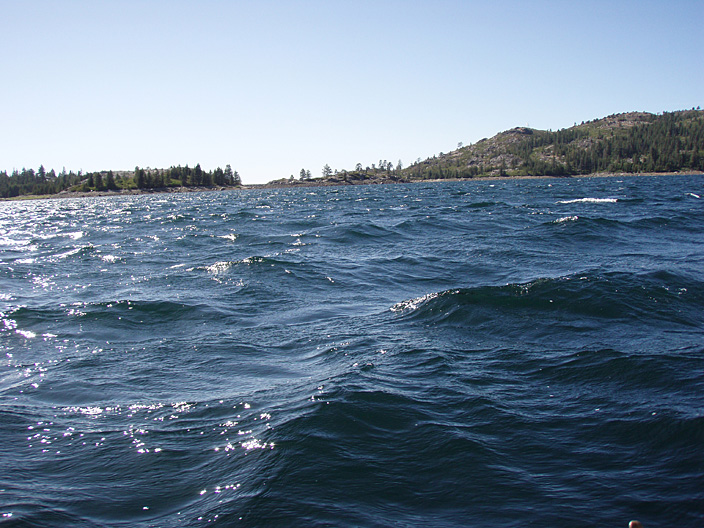
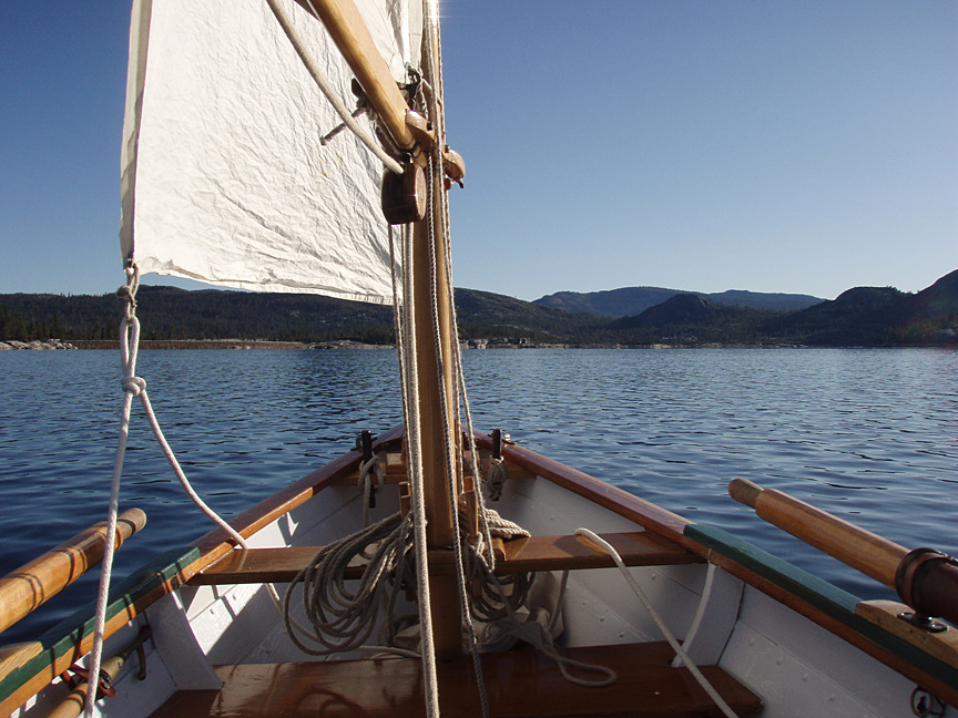
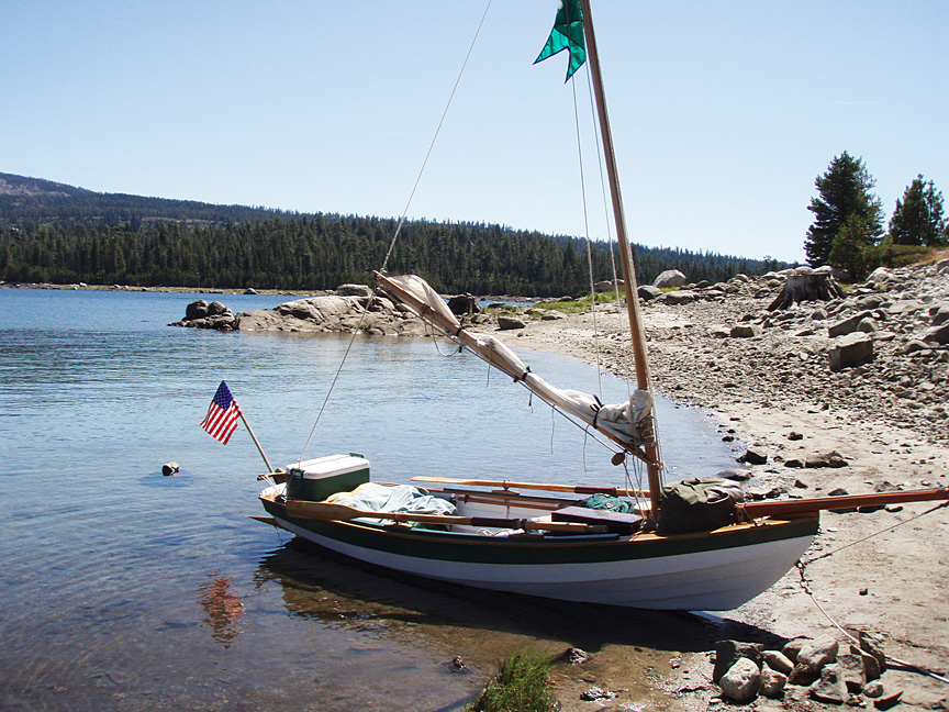
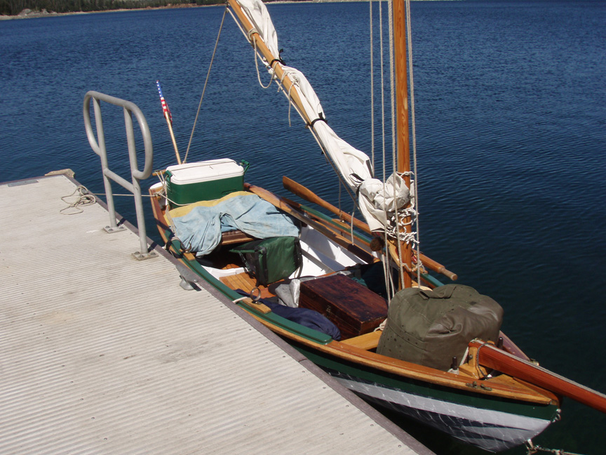
I loaded up the dory skiff and rowed out to the islands to see if there was a good camp spot near a protected harbor. The area is often extremely windy and this weekend was no exception, with the wind only dropping around sunset and most of the day Monday. |
|
|
When the winds blew across the lake the water got very lumpy, making sailing impossible in my small open boat. |
|
|
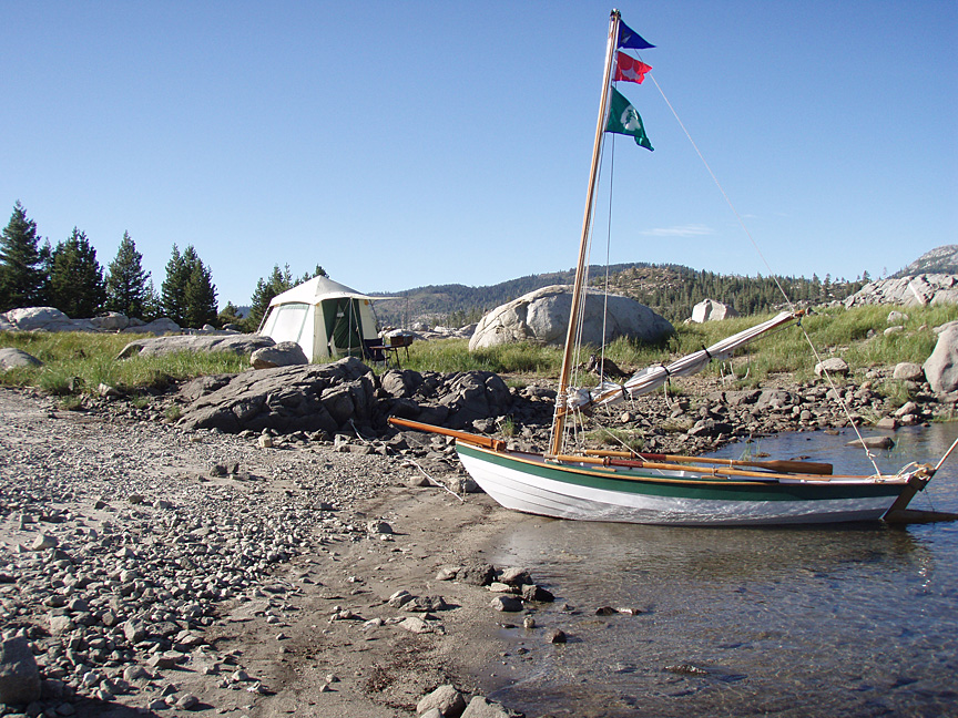
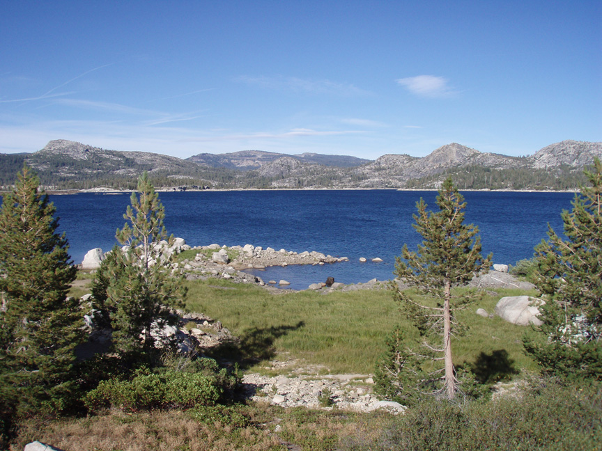
I found a nice cove on the sheltered east side of the island, with level ground nearby - the perfect camp! |
|
|
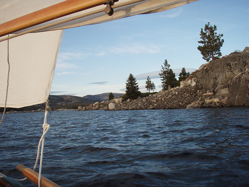
Looking east along the cove. Loon Lake is full of rocks just under the surface, so care is needed even when rowing. |
|
|
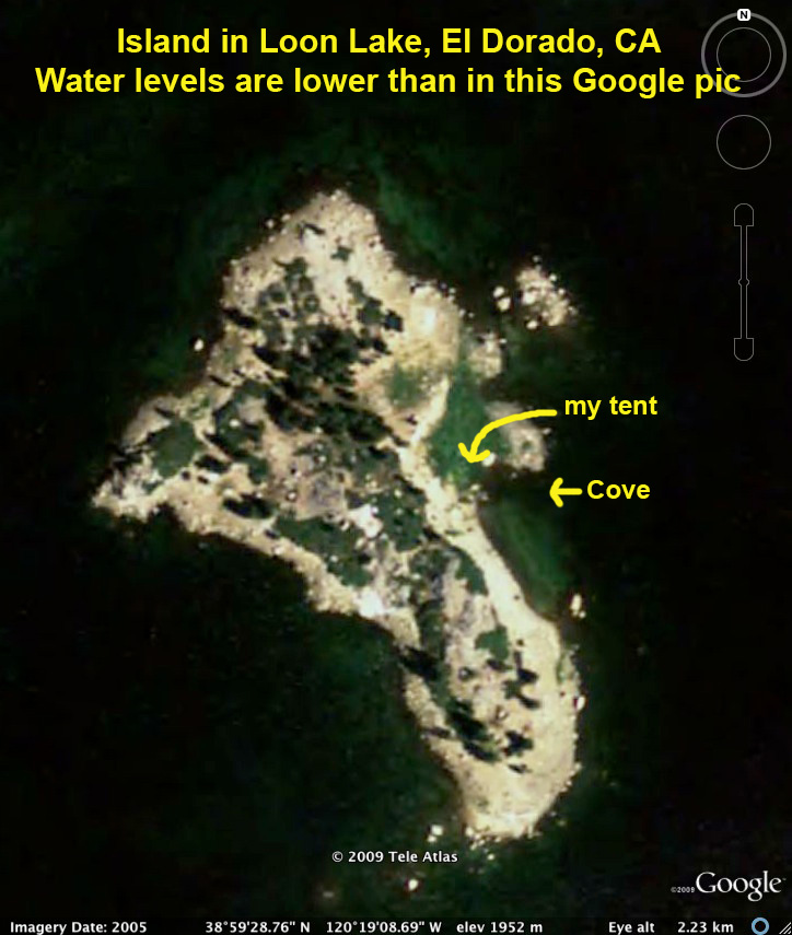
I never found out the name of the larger island,
but I had it all to myself after the first night. |
|
|
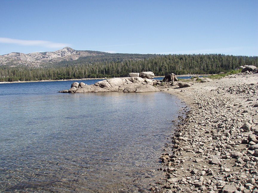
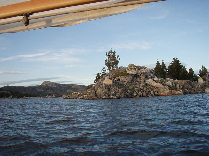
Looking at the cove from along the shore. |
|
|
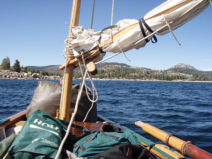
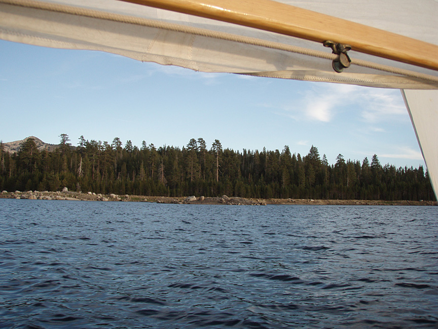
I went out for a sunset sail on Saturday night after the wind dropped a bit, and circumnavigated the island. |
|
|
Sailing around the island at sunset. |
|
|
|
|
|
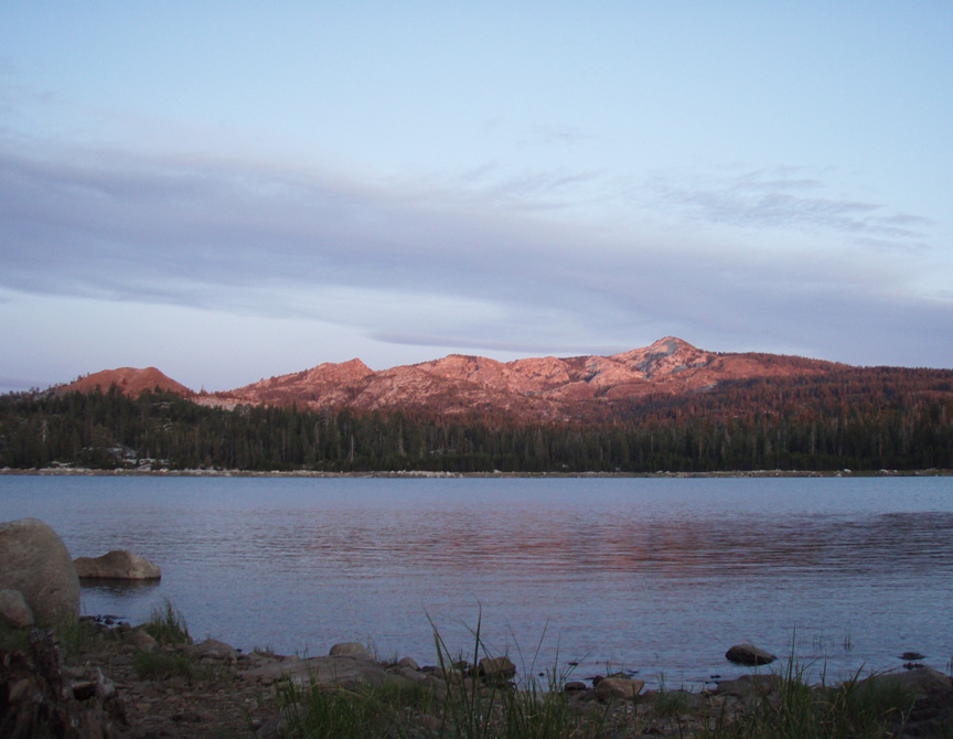
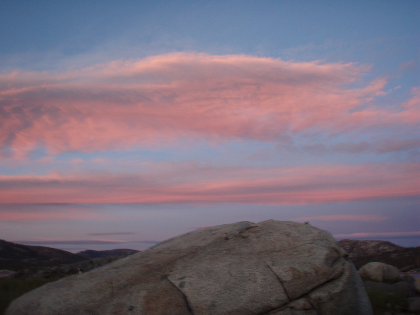
High Sierra sunset. |
|
|
|
|
|
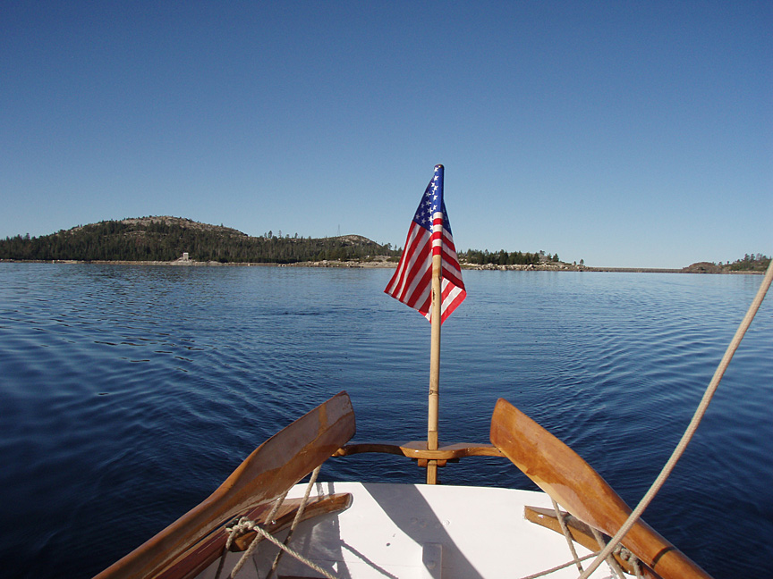
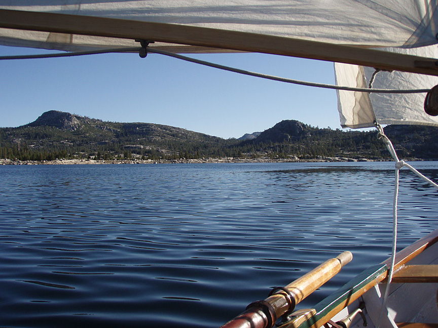
The next day I sailed back to the ramp and campground area with small jib and reefed mainsail. It was still a wild ride on the exposed parts of the lake. |
|
|
I hiked around the island during the day, finding a lot of lovely scenery and views of the nearby peaks. This is the small bay on the very NE tip of the island. |
|
|
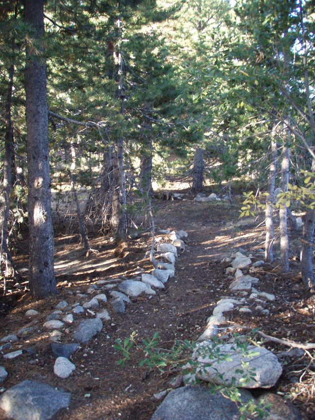
Parts of the island have been 'improved' by years of campers, and would be nice during the summer's hot days. |
|
|
Monday dawned nearly windless, so I rowed north along the eastern shore to explore the northern end of the lake. Looking back at the island. |
|
|
|
|
|
The famous Rubicon jeep trail starts here and goes across several mountains and valleys to Fallen Leaf Lake near Lake Tahoe. |
|
|
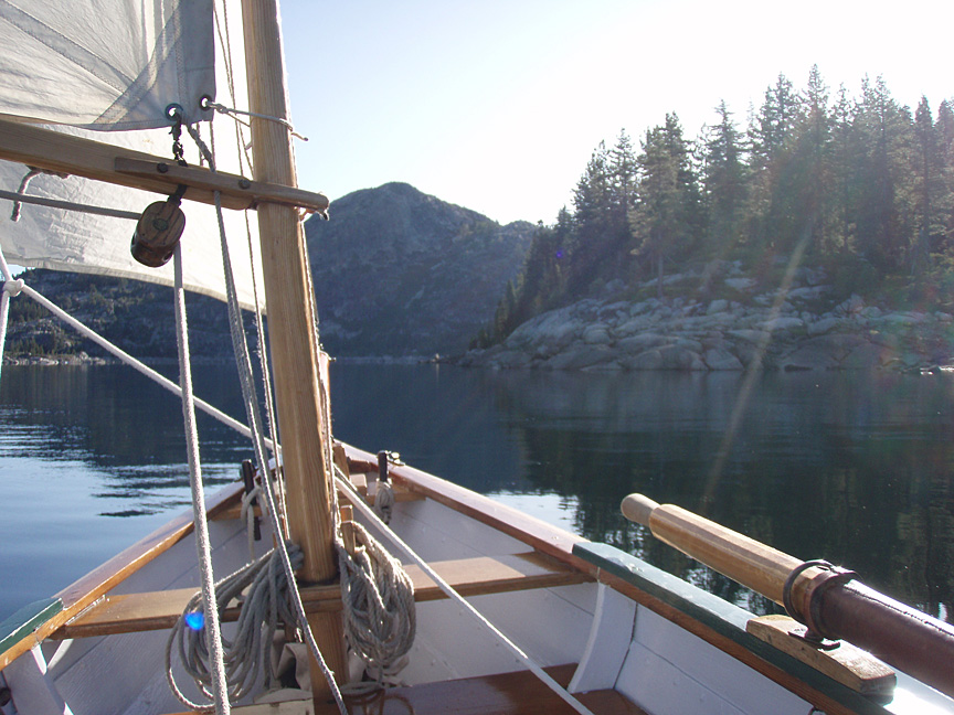
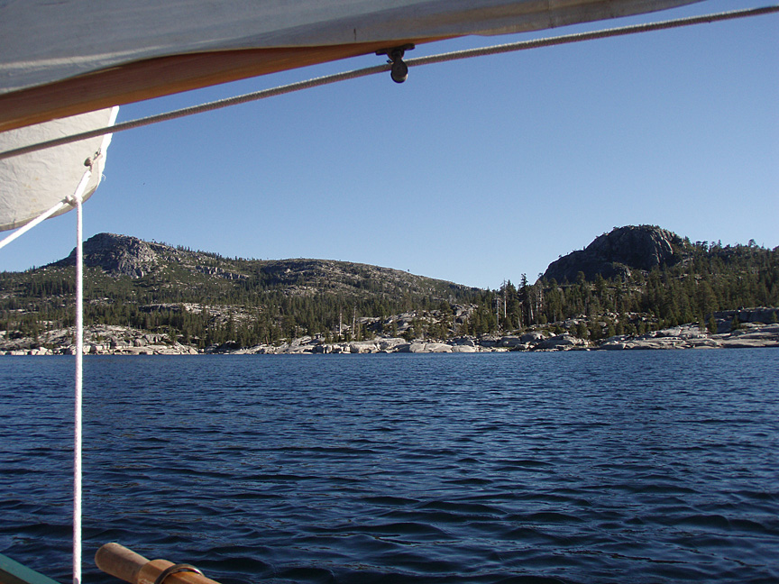
I ghosted along the spectacular shoreline, around the rocky point, then angled NNW towards the inlet. |
|
|
The glaciated granite along the inlet shores was really interesting. |
|
|
The wind picked up again, so I beat my way back to the island to strike camp and row to the ramp. |
|
|
If you can't be comfortable boat-camping, why bother? |
|
|
|