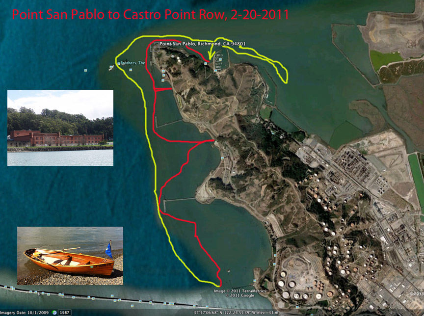
Point San Pablo to Castro Point Row 2/20/11
Thorne's Boating Events Page
Thorne's Dory Restoration Page
Thorne's Boating Events Calendar
|
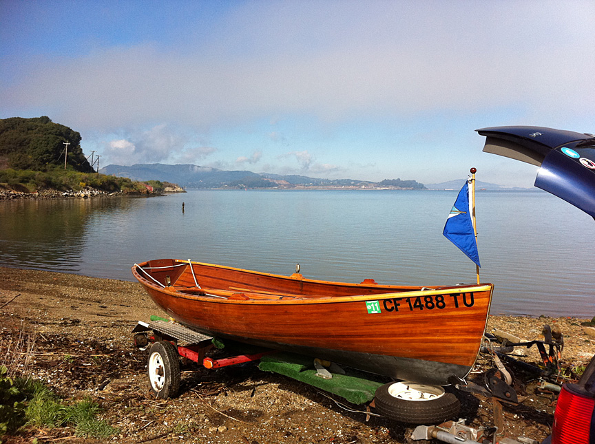
I took advantage of the one sunny day on
Presidents Day weekend and rowed from Point San Pablo Yacht Harbor down
to Castro Point and back again. |
|
|
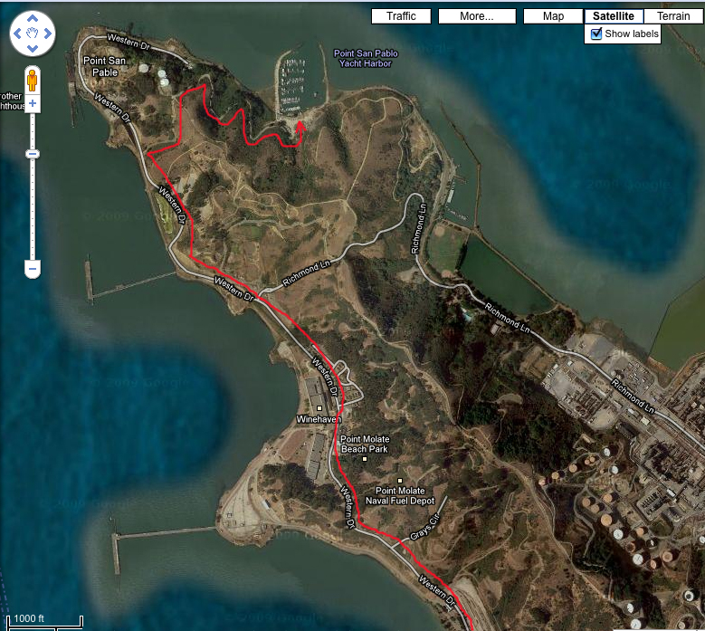
I took the very funky frontage road off I-580
that runs along the west
shore, then over the end of the point
to the Yacht Harbor. It gets worse every year, with huge muddy
potholes large enough to have their own zip codes. |
|
|
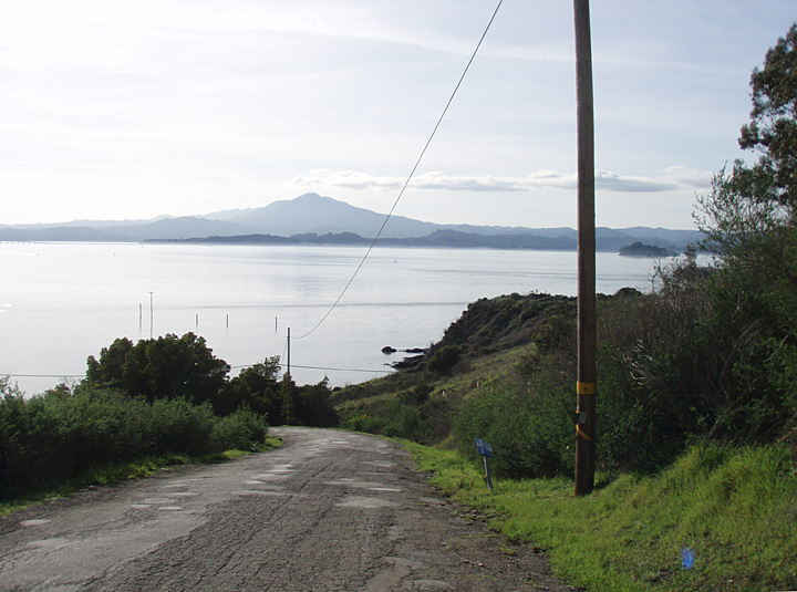
A photo from last year's visit, looking west
from the road over the point. |
|
|
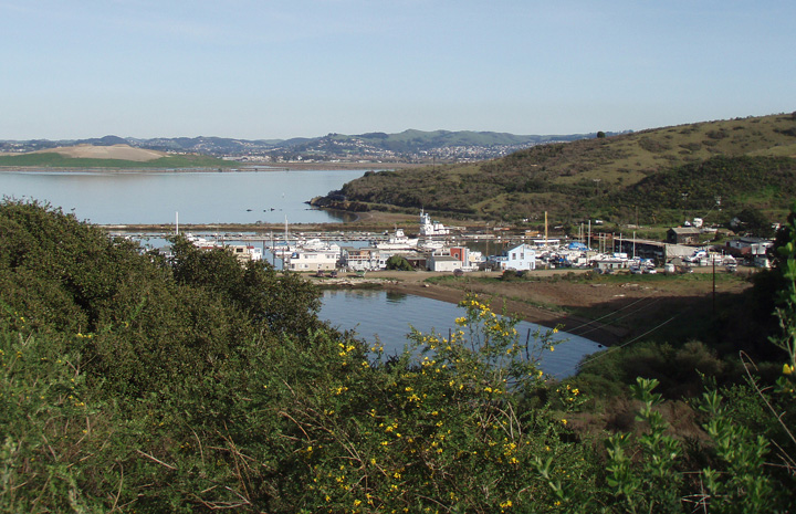
A photo from last year's visit, looking east
from the road to the Point San Pablo Yacht Harbor. |
|
|
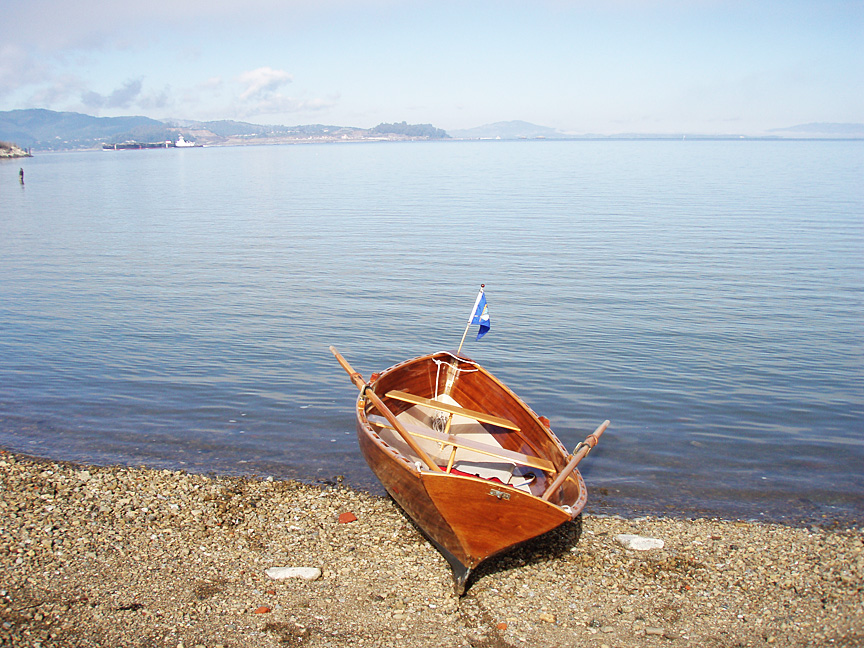
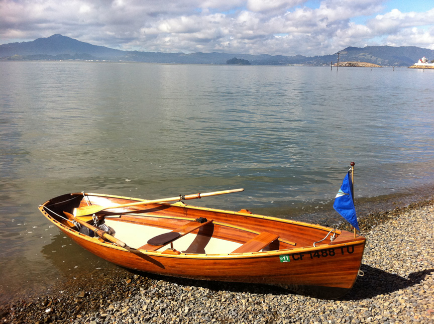
Once at the beach, I decided that rather than
risk getting stuck I would just drag
the wherry down to the water. |
|
|
|
|
|
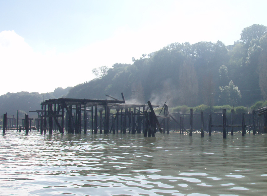
Dew sublimating off burned timbers as rowed past the ruined whaling station at the point. |
|
|
|
|
|
|
|
|
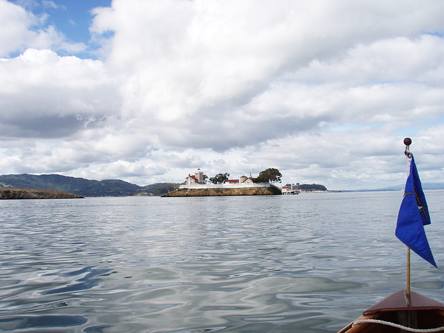
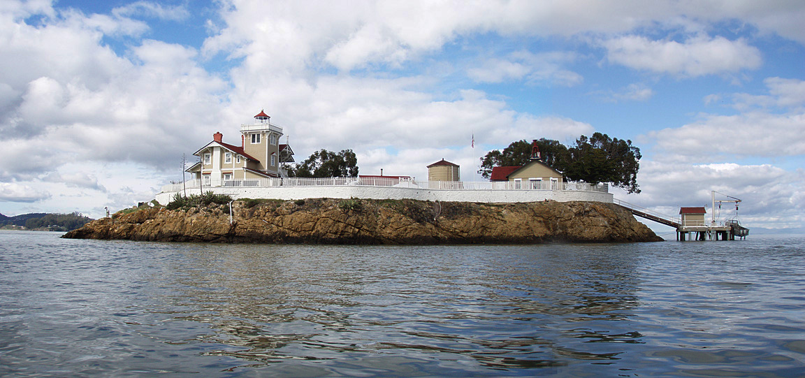
I rowed past the East Brother Lighthouse, then pulled up on the beach for a break. |
|
|
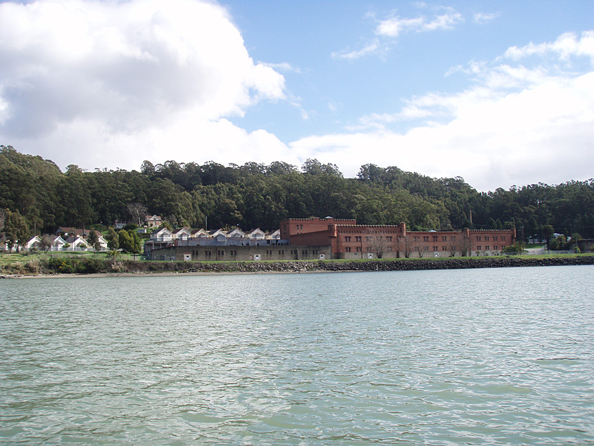
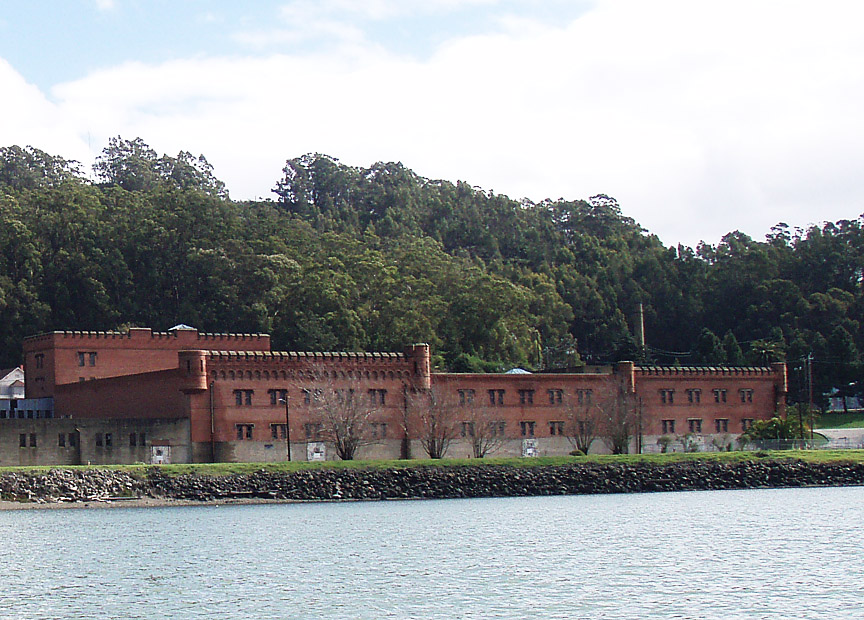
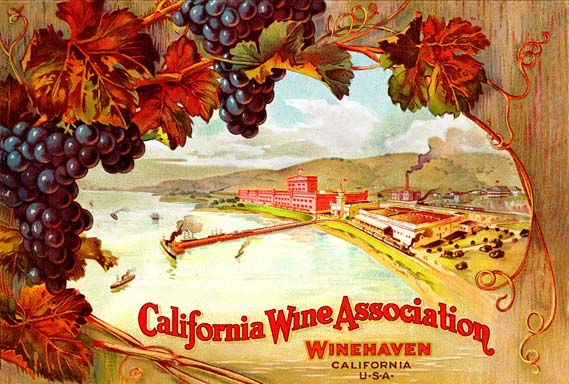
Heading south towards Point Molate is
Winehaven, an abandoned winery and WWII Navy base. 100 years ago
it was the largest winery on the West Coast for 12 years - until
Prohibition shut it down. |
|
|
Not a lot of brick castles with crenelated towers in Richmond! |
|
|
|
|
|
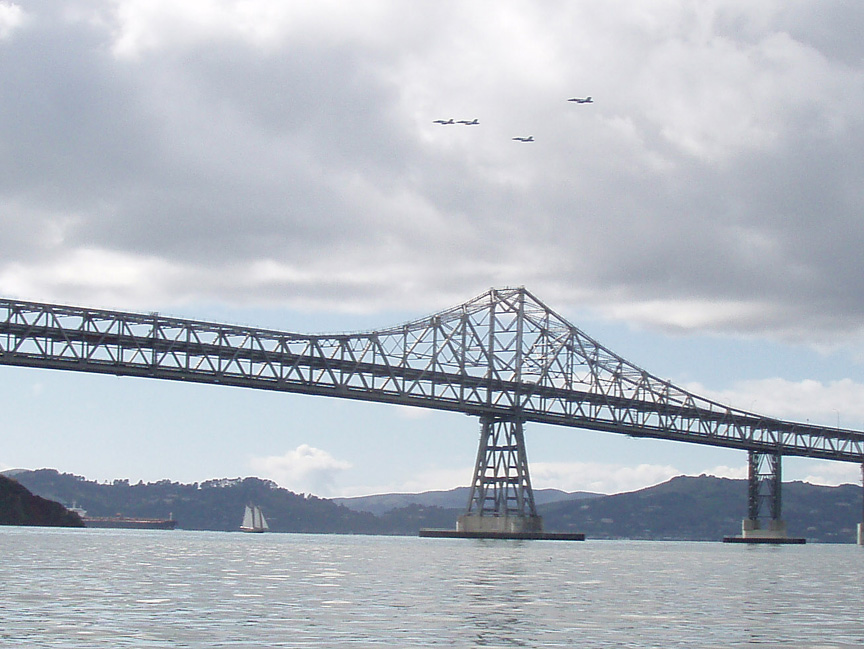
This gaff-rigged schooner was towing a dinghy,
and I thought the view of it with military jets in formation above was
interesting.
|
|
|
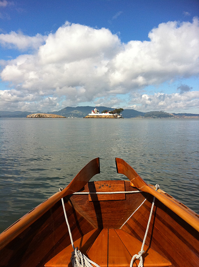
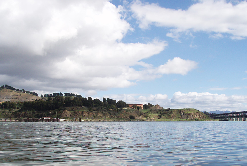
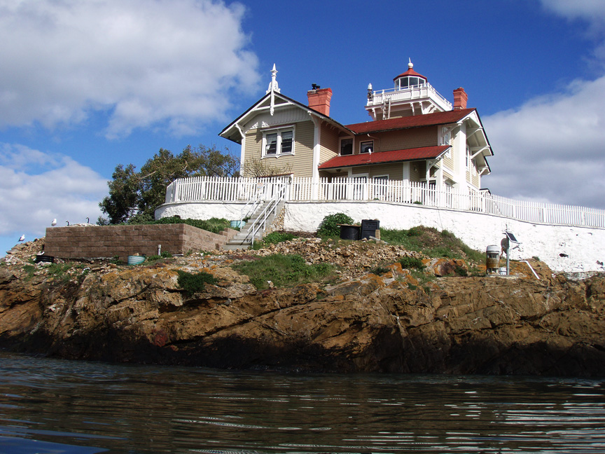
I decided to row between the two Brothers and
get a good look at the lighthouse, now a trendy and expensive B&B. |
|
|
Here's a panorama assembled from two photos. |
|
|
The tide was turning from slack high tide to ebb as I rowed between the islands, with some interesting tidal rips pulling me through. |
|
|
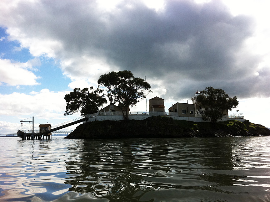
A photo from the east, showing the clouds
beginning to move in during the afternoon. |
|
|
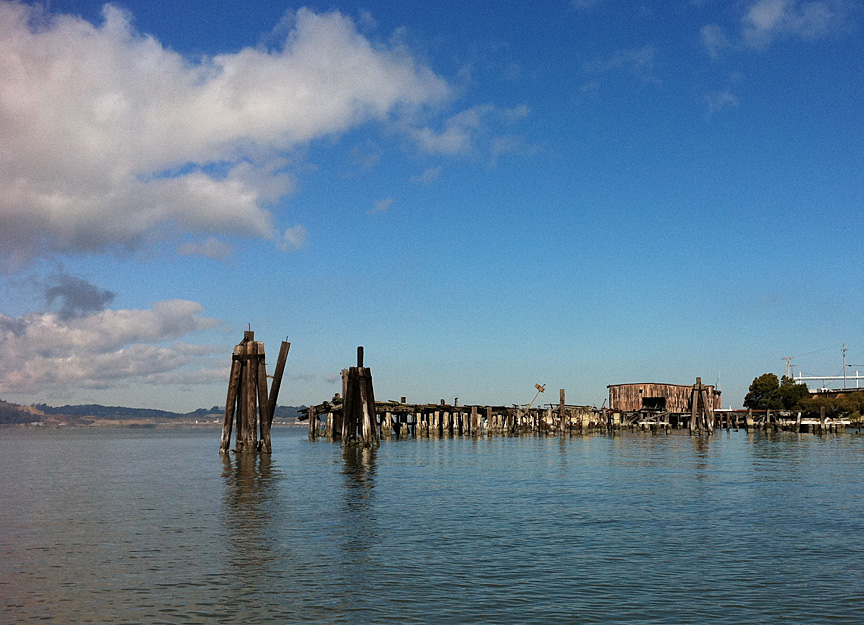
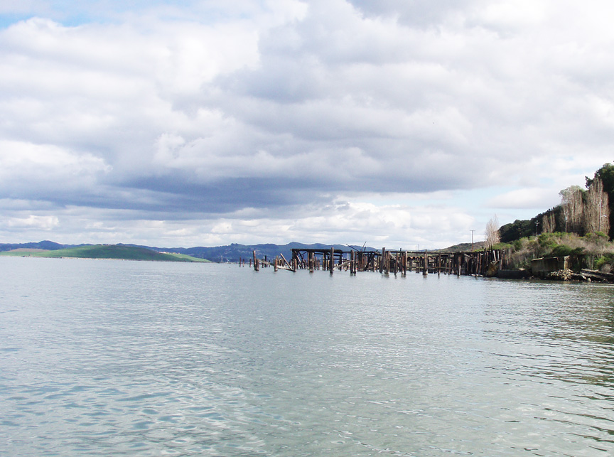
Another shot of the ruined whaling station as I
head east around Point San Pablo.
I rowed against the ebb tide, past the whaling
station and Point San Pablo Yacht Harbor. There is another yacht
harbor around the small point near the Chevron refinery. I went
about halfway to the landfill point you can see in this photo, then
went with the tide back to the beach and pulled my boat out. |
|
|
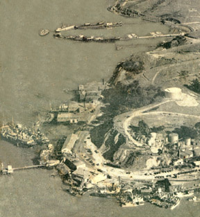
A very old aerial photo showing the Yacht Harbor
built by sinking hulks out into the bay, and Point San Pablo with
sardine and fish factories before the whaling station was built in the
50's.
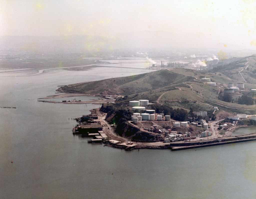
Here's a photo from the 1970's showing the
whaling station at the end of the point before it burned. |